Middlesex Sampling Plant
Vicinity Property Investigation
Fact Sheet
Issued:
February 2024
The U.S. Army Corps of Engineers (USACE) New York District is conducting environmental
investigation and survey activities related to the former Middlesex Sampling Plant (MSP) site located
at 239 Mountain Avenue in the Borough of Middlesex, Middlesex County, New Jersey. This work is
being performed under the Formerly Utilized Sites Remedial Action Program (FUSRAP). The MSP was
established in 1943 as part of the Manhattan Engineer District (MED) to sample, store, test, and
transfer ores containing uranium, thorium, and beryllium.
Project Background
The 9.6-acre MSP is a legacy MED and U.S.
Atomic Energy Commission facility that received
uranium, thorium, and beryllium ores from the
1940s until 1967, at which time the facility was
decontaminated to the standards in effect at the
time. However, overlooked during decontamination
were traces of radioactive materials that had been
carried off-site over the years by wind, rain, and fill
activities to nearby properties. Also, records later
revealed that in 1948, some radioactively
contaminated materials had been trucked from the
plant to the Middlesex Municipal Landfill (MML),
one-half mile away.
In the 1980s, the contaminated nearby properties
(termed MSP Vicinity Properties [VPs]) were
cleaned up, and the excavated soil was stored on
the MSP site in a specially constructed pile, known
as the Vicinity Properties (VP) pile.
A Record of Decision (ROD) was signed in 2005
specifying the criteria for the cleanup of
contaminated soils related to the MSP.
Remediation of the MSP soils was completed in
2008. USACE has conducted a review of the MSP
VPs previously identified by the U.S. Department
of Energy to ensure they meet the criteria set in the
ROD. In 2019, USACE added a new VP to the
MSP. The location of this VP suggested that a
wider area around the MSP be further investigated.
In 2021, USACE conducted an expanded aerial
survey extending 12 square miles around the MSP
Site.
Current Activities
Current evaluation of
the aerial survey
results indicates that
there is no immediate
threat to human
health or the
environment. This
spring, USACE will be
conducting follow-on
ground investigations
which will include
work crews entering
public areas to
conduct visual
observations, surface scans, and collect soil
samples. This additional data will help to further
ground truth the aerial survey results. It is
important to note that USACE further investigating
a property does not mean there is contamination.
Elevated readings do not necessarily indicate
contamination because there are many sources of
naturally occurring radiologic activity in our
environment that can cause elevated readings
above background, such as granite stone and
building materials like brick. Work conducted by
USACE will help determine whether radiological
levels are consistent with naturally occurring
radioactive material (NORM). As with the previous
USACE work at this site, this work is being
conducted in coordination with both the U.S.
Environmental Protection Agency (EPA) and the
New Jersey Department of Environmental
Protection (NJDEP).
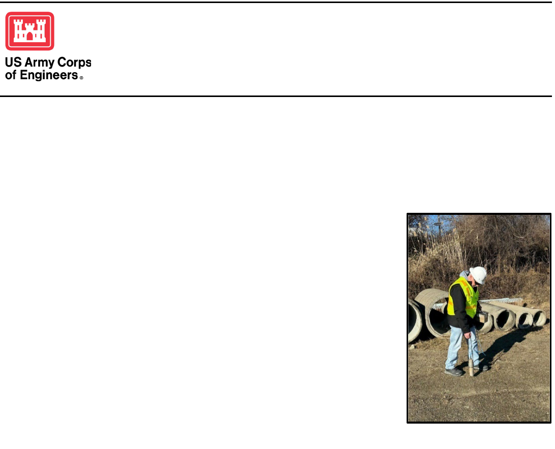
Ground surveys will be performed
using handheld gamma detectors.

Project Fact Sheet
Middlesex Sampling Plant FUSRAP Site Vicinity Properties
Middlesex, New Jersey
Frequently Asked Questions About Current Activities
What will I see when work begins?
Project teams are visually inspecting and carrying radiation detection equipment with GPS locators
on their backs, as well as taking pictures, collecting samples, and making notes.
Why is this work happening?
In 2021, USACE conducted an expanded aerial radiological survey to identify any additional
properties potentially affected by operations at the MSP. The survey extended over 12 square miles
around MSP covering properties in and around the municipalities of Bound Brook, Bridgewater,
Dunellen, Green Brook, Middlesex, Piscataway, and Warren. The follow-on investigation activities
being conducted this spring will collect data to further evaluate the aerial survey results and
determine if any properties warrant further investigation.
How will the data be used?
It will be used in conjunction with the data collected in 2021 to identify specific properties for
additional investigation.
How will we be notified?
USACE New York District will contact the owners of any properties identified for additional
investigation and request access to their property for the purposes of additional sampling. The
specific means for notifying the larger community is under development and may include a public
meeting or series of meetings, if warranted.
How long will USACE/NAN be working?
This phase of work will be conducted in coordination with the EPA and NJDEP and will take several
months to complete the field work and data evaluation. Once this effort is complete and the number
of properties, if any, is determined for additional investigation, a more definitive schedule will be
developed and shared with the public.
Is the public safe?
Based on the data collected to date, there is no immediate risk to anyone’s health. We will continue
to take appropriate actions and keep the community informed as additional data is collected and
analyzed.
For more information, scan the QR code or enter the project website
https://www.nan.usace.army.mil/Media/Fact-Sheets/Fact-Sheet-Article-
View/Article/487433/fact-sheet-middlesex-sampling-plant-nj/
An information repository with project documents has been set up at the
Middlesex Public Library at 1300 Mountain Avenue in Middlesex, New Jersey.
You can also contact Kathleen Cuzzolino, USACE Project Manager, Phone: (917) 790-8330
Email: [email protected].mil
